



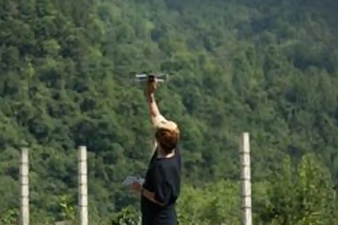
Nepal drone disaster response has entered a new phase after unmanned aircraft airlifted seven bodies from a flood-ravaged area of Dhading district this week. The operation, carried out on Monday in Benighat, marked one of the most unusual uses of drone technology in the country’s history of emergency relief.
According to The Kathmandu Post, the drone was sent to retrieve remains from terrain that rescuers considered both difficult and dangerous to navigate. Security personnel supervised the transfer of the bodies from Benighat-3 to Benighat-5.
The scene underscored how far drone use has advanced in Nepal since the 2015 earthquake. Back then, international agencies brought the aircraft into the country. Today, however, Nepali operators are flying the missions themselves.
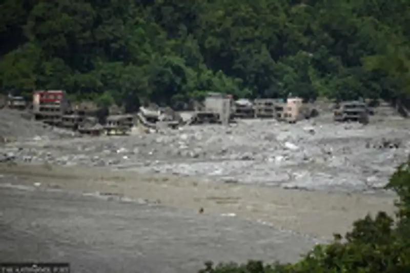
Meanwhile, the scale of the disaster continues to grow. The United Nations Development Programme estimates the Bhotekoshi–Trishuli floods left behind roughly 2.2 million tonnes of debris, the Post reported. As a result, search and rescue teams face weeks of hazardous work in unstable conditions.
Bodies Airlifted From Hazardous Terrain in Dhading
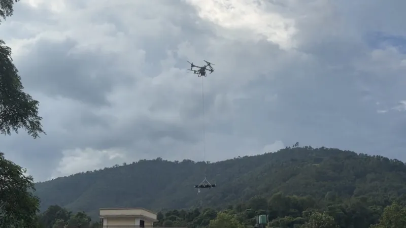
The Benighat operation drew attention because of what the drone carried. Residents and rescue workers watched an unmanned aircraft cross the sky with a human body suspended beneath it. Seven bodies were eventually moved this way, according to reporting republished by Inquirer.net via the Asia News Network.
Rescuers chose drones for a simple reason. The area where the bodies lay was unsafe for ground teams to enter. Consequently, sending people in on foot would have exposed them to further landslides, unstable debris and fast-moving water.
Security forces oversaw every step of the transfer, the Post noted. That oversight matters because the handling of human remains carries legal and cultural weight in Nepal. Therefore, the drone flights operated under direct supervision rather than as an improvised measure.
Food Deliveries Tested as Survivors Remain Cut Off
Beyond recovering the dead, drones are also being used to keep the living supplied. The New York Times reported that some survivors of the flood and landslide have no access to food. Officials and volunteers, in turn, are testing whether drones can bridge that gap.
Floods and landslides often sever the roads and footpaths that link Nepal’s hill villages to markets and aid depots. In such cases, helicopters are scarce and expensive, while porters face the same dangers as rescuers. Drones, by contrast, can fly repeated short missions over blocked routes at relatively low cost.
The approach echoes a wider global trend toward aerial logistics in hard-to-reach regions. UAS Daily has previously covered how Zipline argues drone delivery costs undercut cars, and how drone cargo is being explored for Indonesia’s remote 3T regions. Nepal’s flood zone, however, presents an even more urgent test of the concept.
From 2015 Earthquake to Homegrown Drone Expertise
The current deployment represents a striking shift from a decade ago. When a 7.8-magnitude earthquake struck Nepal in 2015, it killed thousands and destroyed large parts of the Kathmandu Valley and surrounding areas. At that time, Anadolu Agency reports, international relief agencies brought drones to search for survivors, assess damage and support recovery.
In other words, the technology arrived with foreign teams and largely left with them. Nepali responders had limited access to the aircraft or the training needed to operate them. Over the following years, however, local expertise developed steadily.
Now that expertise is being put to work on Nepal’s own terms. The Kathmandu Post notes that domestic drone capability is helping deliver supplies, search for survivors and airlift bodies from areas rescuers cannot safely reach. This transition from imported tool to homegrown asset mirrors broader debates about why drone training is essential to the low-altitude economy.
Massive Debris Field Complicates Ongoing Search
The environment in which these drones operate is extraordinarily hostile. UNDP’s estimate of 2.2 million tonnes of debris from the Bhotekoshi–Trishuli floods illustrates the physical barrier confronting rescue teams. Boulders, mud, timber and wreckage now cover areas that were homes and farmland only days ago.
As Anadolu Agency reported in a social media update, search and rescue operations remain ongoing in the flood-hit areas. Drones therefore serve a dual purpose. They locate victims and survivors from above, and they also carry loads across ground that may collapse under human weight.
Furthermore, aerial imagery helps officials prioritise where to send limited ground resources. Instead of dispatching teams blindly into unstable valleys, coordinators can first review drone footage. This reduces risk for responders and speeds decisions about which communities need help most urgently.
What the Nepal Deployment Signals for Disaster Drones
Nepal’s experience offers a case study for other disaster-prone countries. The transition from foreign-operated aircraft in 2015 to locally run body-recovery flights in 2026 took just over a decade. Consequently, governments in similar terrain may look to Nepal as evidence that domestic capacity can be built.
Still, the use of drones to carry human remains raises questions that few disaster plans have addressed. Payload limits, dignity of the deceased and chain-of-custody procedures all require clear rules. The supervision by security personnel in Benighat suggests Nepali authorities are alert to these concerns, even amid the emergency.
For the drone industry, the deployment highlights demand for rugged, heavy-lift platforms suited to mountain weather. It also reinforces the argument that low-altitude economy ecosystems extend well beyond commercial delivery into life-saving public service. Readers can follow further developments in our Technology and News sections.
Key facts from the Nepal deployment
- Seven bodies were airlifted by drone from Benighat-3 to Benighat-5 in Dhading on Monday, under security supervision.
- Officials and volunteers are testing drone food deliveries to survivors with no access to supplies, per The New York Times.
- UNDP estimates 2.2 million tonnes of debris from the Bhotekoshi–Trishuli floods.
- International agencies first brought drones to Nepal after the 7.8-magnitude earthquake in 2015.
- Search and rescue operations continue in flood-affected areas, according to Anadolu Agency.
Ultimately, the images from Benighat may come to define how Nepal remembers this disaster. A technology once flown by outsiders to map earthquake damage is now flown by Nepalis to bring home the dead and feed the stranded. That shift, more than any single flight, marks the new role drones have taken in the country’s emergency response.